West Texas Faces Another Round of Showers and Thunderstorms
Showers and thunderstorms remain possible around the Permian Basin as an unsettled weather pattern continues.
Published October 25, 2026 · Texas News Studio News Desk
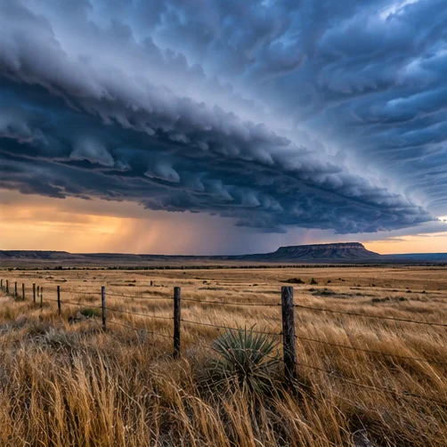
AI-generated editorial illustration. Not a photograph of the reported event.
A First Alert 7 forecast published October 24 described storms affecting southeast New Mexico and far West Texas overnight, with activity expected to move toward the Permian Basin. Forecasters warned that isolated stronger storms and locally heavy rain could not be ruled out.
Additional scattered showers and thunderstorms were expected Sunday, though the report emphasized that rain would not be continuous or widespread throughout the day. More unsettled weather was possible during the following week.
Residents should distinguish a forecast possibility from an active warning. For decisions about travel or outdoor activity, consult the latest National Weather Service alerts and radar, especially if thunderstorms develop nearby.