HOUSTON WEATHER
Houston’s Forecast Is Not the Same as South Texas’s Flood Forecast
NOVEMBER 8, 2026 · TNS NEWS DESK
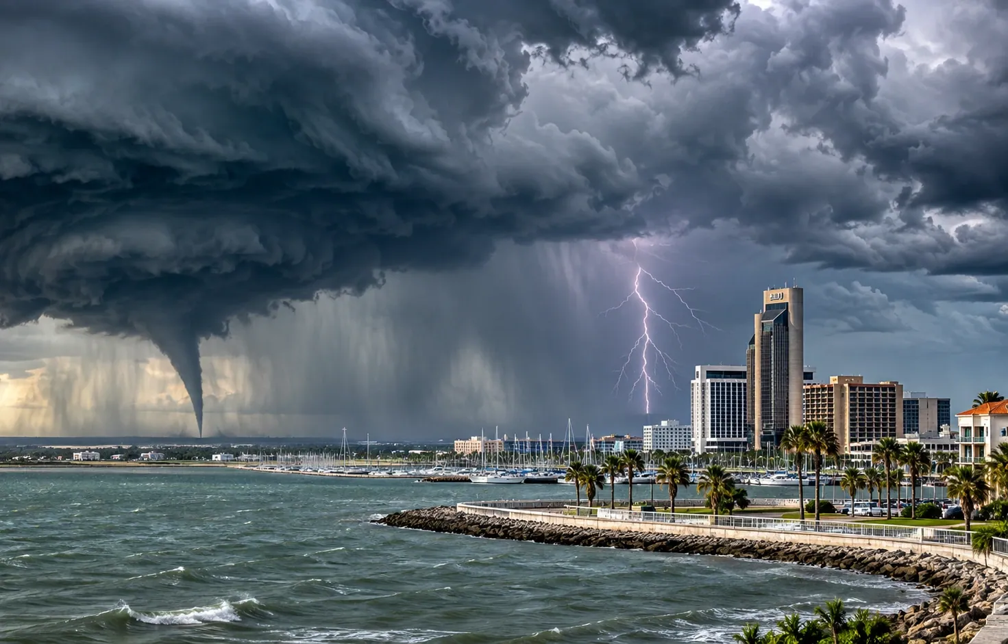
Rain in one part of the state can dominate the headlines while leaving the biggest city with a different set of conditions.
Texas is enormous, and the atmosphere rarely respects a statewide headline. The most detailed early Sunday heavy-rain alert from NOAA’s Weather Prediction Center focused on central to south-central Texas, with particularly intense rainfall possible in the South Texas Plains.
That does not establish that Houston will receive the same totals or timing. Southeast Texas has its own forecast office, its own drainage issues and its own set of short-fuse advisories. A headline predicting scattered Houston showers without checking the local forecast would be little better than guessing.
The difference matters to commuters, event organizers and families. A broad map can show clouds stretching across much of Texas while the rain intensity is concentrated hundreds of miles away. Forecast discussions from NWS Houston/Galveston are the appropriate source for neighborhood-level timing and hazards.
For Houston readers, check the current forecast and warning map before making weather-sensitive plans. For TNS, the more important editorial rule is to avoid presenting South Texas flood numbers as Houston-specific rainfall predictions.
The verified statewide picture is an unsettled pattern with a documented heavy-rain threat farther west and south. We will update Houston-specific impacts only when supported by local observations or NWS products.
Sources and continuing coverage
www.weather.gov · origin-east-www-wpc.woc.noaa.gov
Published November 8, 2026. Forecasts and warnings can change. TNS analysis is distinguished from official weather alerts and verified reporting.