A Small Severe-Weather Risk Can Still Produce a Dangerous Storm
The Storm Prediction Center warns isolated damaging winds and perhaps a brief tornado are possible in a small part of South Texas.
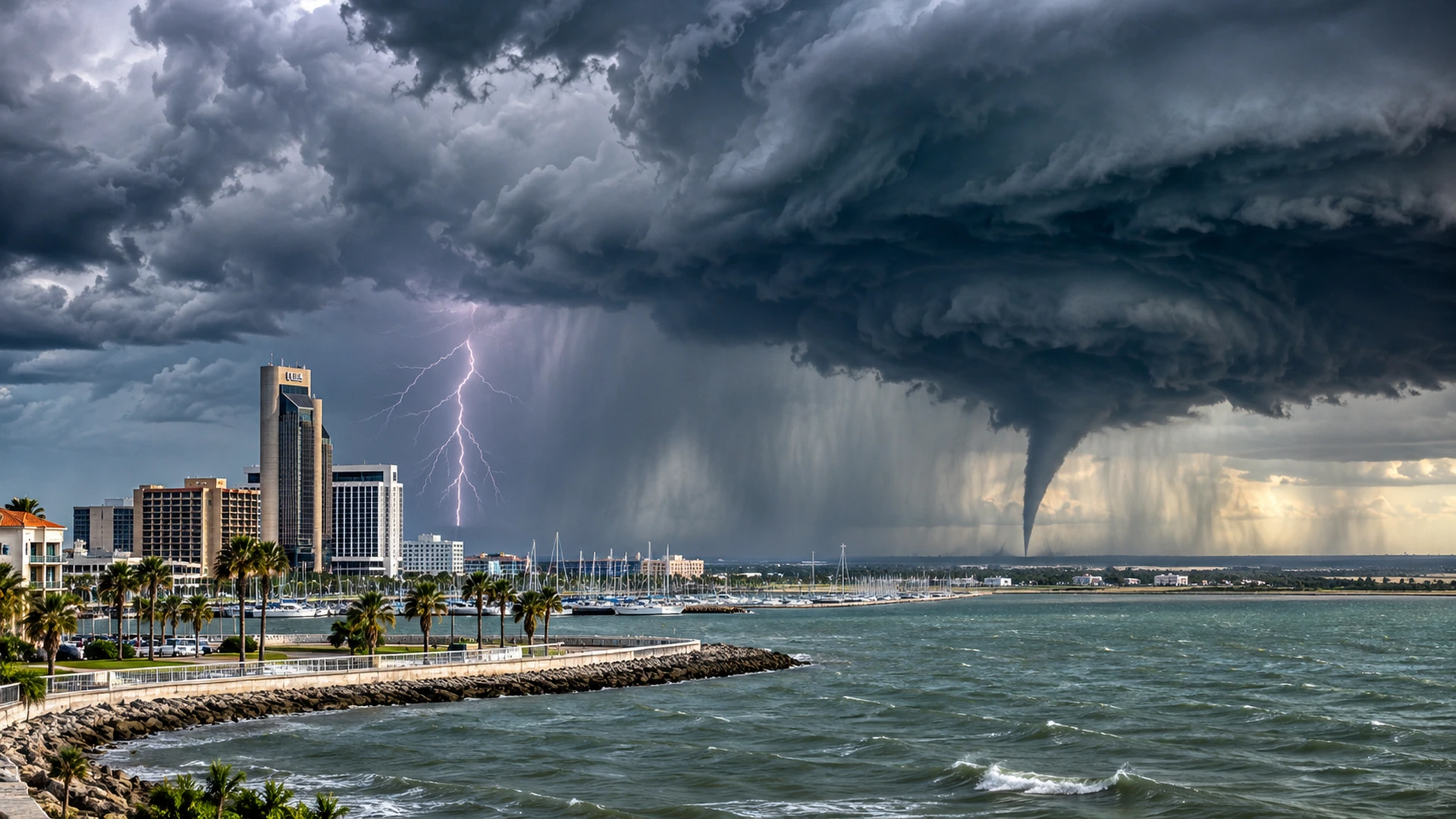
The South Texas tornado possibility is limited in area—but it should not be ignored.
The Storm Prediction Center’s 6:40 a.m. Central Standard Time outlook on November 8 placed a small portion of South Texas in a Marginal Risk for severe thunderstorms. The forecast described isolated damaging wind gusts and perhaps a brief tornado. Marginal is the lowest category on SPC’s five-level severe-weather scale, not a prediction of widespread destruction.
The atmospheric setup helps explain the concern. SPC noted a disturbance over northern Mexico, a weak surface low or trough and abundant low-level moisture near the lower Texas coast. With some daytime heating, storms could become strong enough to produce isolated severe weather.
The distinction between possibility and certainty is essential. An outlook identifies a region where ingredients may support severe storms; it does not say a tornado has formed. A tornado warning, if issued, would identify a much more immediate threat requiring action.
The same system also carries a heavy-rain concern, and that may affect more people than the isolated severe-wind threat. People near the coast should check official SPC outlooks and local NWS warnings rather than assume the absence of a high risk means there is nothing to monitor.
TNS will watch for changes in storm organization, new SPC mesoscale discussions and any warnings. Our job is to communicate the level of risk accurately—even when the most dramatic outcome never occurs.
Sources and continuing coverage
forecast.weather.gov · www.spc.noaa.gov
Published November 8, 2026. Forecasts and warnings can change. TNS analysis is distinguished from official weather alerts and verified reporting.