Displaying official NOAA/WPC Excessive Rainfall Outlook.
TODAY'S EXCESSIVE RAINFALL OUTLOOKOfficial forecast graphic • Updated by the Weather Prediction Center
NOAA / NWS / WPC
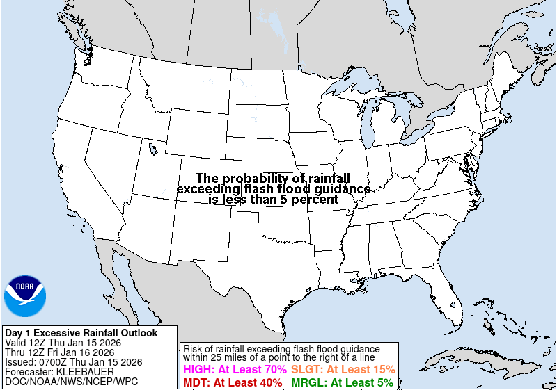
The official WPC map is temporarily unavailable. No outdated substitute is being shown.
SOURCE: NOAA/NWS Weather Prediction Center • Forecast images load directly within Texas News Studio and update when WPC replaces them. This is an official national WPC map, rather than a Texas-only redraw; the original geography and risk contours are preserved. No third-party broadcaster branding or graphics are reused.
Rainfall & Flooding
This forecast highlights areas at risk of excessive rainfall. WPC outlooks are forecasts, not active flood warnings. Follow local National Weather Service warnings for immediate hazards.